Pan Rocks and seaside houses at Amble
Introduction
The photograph on this page of Pan Rocks and seaside houses at Amble by Oliver Dixon as part of the Geograph project.
The Geograph project started in 2005 with the aim of publishing, organising and preserving representative images for every square kilometre of Great Britain, Ireland and the Isle of Man.

There are currently over 7.5m images from over 14,400 individuals and you can help contribute to the project by visiting https://www.geograph.org.uk
Pan Rocks and seaside houses at Amble
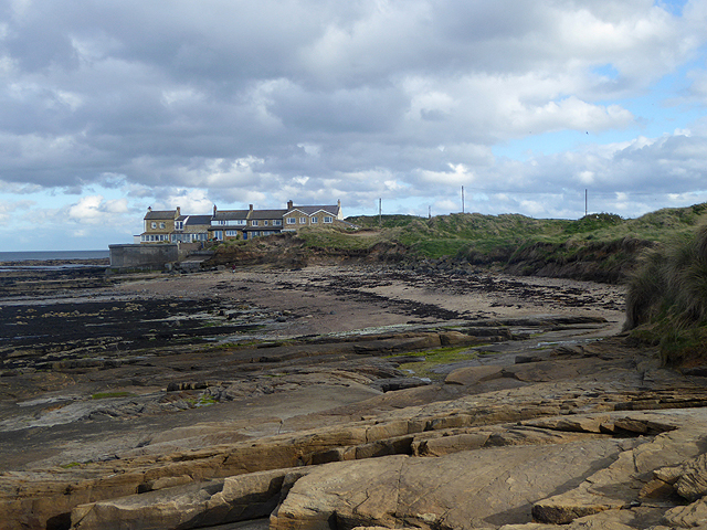
Image: © Oliver Dixon Taken: 12 May 2015
The houses are in a very exposed location, subject to everything that the sea and the weather can throw at them.
Images are licensed for reuse under creativecommons.org/licenses/by-sa/2.0
Image Location


Leaflet Map data © OpenStreetMap
Latitude
55.334238
Longitude
-1.568522