Pan Rocks and Coquet Island
Introduction
The photograph on this page of Pan Rocks and Coquet Island by Oliver Dixon as part of the Geograph project.
The Geograph project started in 2005 with the aim of publishing, organising and preserving representative images for every square kilometre of Great Britain, Ireland and the Isle of Man.

There are currently over 7.5m images from over 14,400 individuals and you can help contribute to the project by visiting https://www.geograph.org.uk
Pan Rocks and Coquet Island
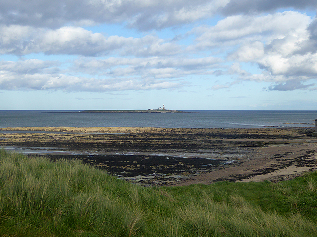
Image: © Oliver Dixon Taken: 12 May 2015
A tidal rock platform at Amble. In the distance is Coquet Island Image, a bird reserve with restricted access.
Images are licensed for reuse under creativecommons.org/licenses/by-sa/2.0
Image Location


Leaflet Map data © OpenStreetMap
Latitude
55.335314
Longitude
-1.56788