Former mission building, Webber Street
Introduction
The photograph on this page of Former mission building, Webber Street by David Smith as part of the Geograph project.
The Geograph project started in 2005 with the aim of publishing, organising and preserving representative images for every square kilometre of Great Britain, Ireland and the Isle of Man.

There are currently over 7.5m images from over 14,400 individuals and you can help contribute to the project by visiting https://www.geograph.org.uk
Former mission building, Webber Street
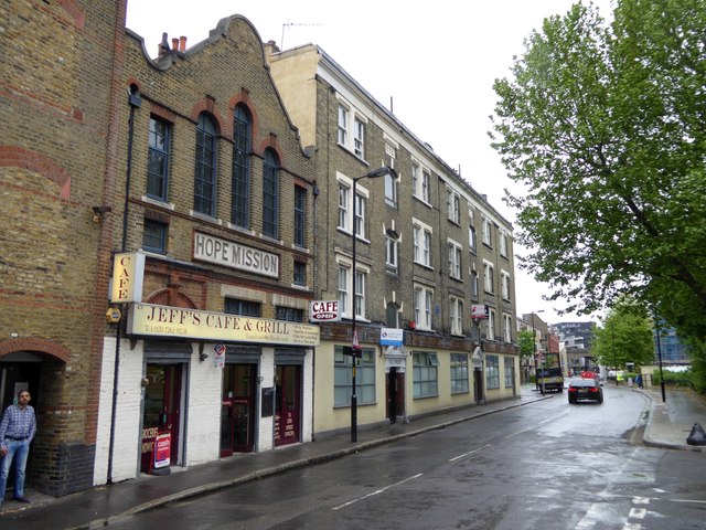
Image: © David Smith Taken: 14 May 2015
Now a cafe, but retaining the sign "Hope Mission". Adjacent is "The Priory" with a blue plaque commemorating Bert Hardy (1913-1995) Image
Images are licensed for reuse under creativecommons.org/licenses/by-sa/2.0
Image Location
Latitude
51.500807
Longitude
-0.103702