New plantation, East Carleton
Introduction
The photograph on this page of New plantation, East Carleton by Katy Walters as part of the Geograph project.
The Geograph project started in 2005 with the aim of publishing, organising and preserving representative images for every square kilometre of Great Britain, Ireland and the Isle of Man.

There are currently over 7.5m images from over 14,400 individuals and you can help contribute to the project by visiting https://www.geograph.org.uk
New plantation, East Carleton
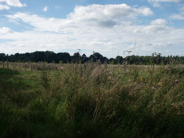
Image: © Katy Walters Taken: 28 Aug 2005
Taken mainly because it will be an interesting place to return to in future years! On the west side of the road at the entrance to the village from the Ketteringham road.
Images are licensed for reuse under creativecommons.org/licenses/by-sa/2.0
Image Location


Leaflet Map data © OpenStreetMap
Latitude
52.574103
Longitude
1.208348