Under Milngavie Road
Introduction
The photograph on this page of Under Milngavie Road by Richard Sutcliffe as part of the Geograph project.
The Geograph project started in 2005 with the aim of publishing, organising and preserving representative images for every square kilometre of Great Britain, Ireland and the Isle of Man.

There are currently over 7.5m images from over 14,400 individuals and you can help contribute to the project by visiting https://www.geograph.org.uk
Under Milngavie Road
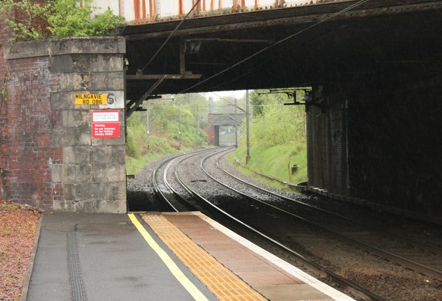
Image: © Richard Sutcliffe Taken: 15 May 2015
The view from Hillfoot Station, looking along the railway lines towards Bearsden. The Roman Road bridge is in the distance.
Images are licensed for reuse under creativecommons.org/licenses/by-sa/2.0
Image Location
Latitude
55.919804
Longitude
-4.321217