Trees near Claverham
Introduction
The photograph on this page of Trees near Claverham by Derek Harper as part of the Geograph project.
The Geograph project started in 2005 with the aim of publishing, organising and preserving representative images for every square kilometre of Great Britain, Ireland and the Isle of Man.

There are currently over 7.5m images from over 14,400 individuals and you can help contribute to the project by visiting https://www.geograph.org.uk
Trees near Claverham
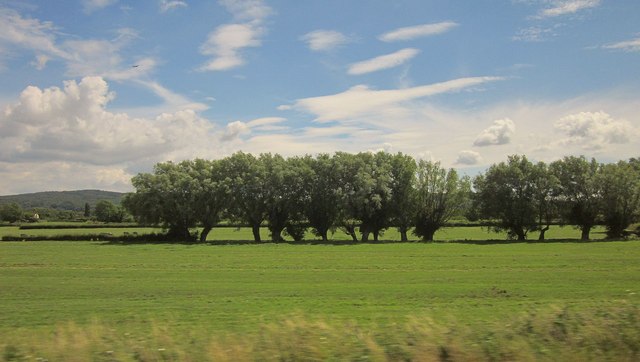
Image: © Derek Harper Taken: 11 Jul 2014
A line of trees along a drainage channel on the Somerset Levels, seen from the main railway line northeast of Yatton.
Images are licensed for reuse under creativecommons.org/licenses/by-sa/2.0
Image Location


Leaflet Map data © OpenStreetMap
Latitude
51.396527
Longitude
-2.81063