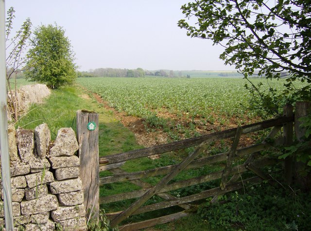
The Macmillan Way above Hampnett
Introduction
The photograph on this page of The Macmillan Way above Hampnett by Graham Horn as part of the Geograph project.
The Geograph project started in 2005 with the aim of publishing, organising and preserving representative images for every square kilometre of Great Britain, Ireland and the Isle of Man.
There are currently over 7.5m images from over 14,400 individuals and you can help contribute to the project by visiting https://www.geograph.org.uk

Image: © Graham Horn Taken: 29 Apr 2007
The Macmillan Way, 290-mile coast to coast path between Lincolnshire and Dorset, follows as near as possible the line of the Oolitic limestone. In the Cotswolds it is known as Cotswold stone, typified by the shape and colour of the blocks in this wall. The route through the Cotswolds crosses the streams and small rivers running off the dip slope into the Thames catchment, usually with a stone village in each valley, such near as here at Hampnett. On the high ground arable farming prevails on stony soil. Here a root crop is being grown. The route of the Macmillan Way is generally well marked with the green and white markers as seen on this gatepost. It is usually clear of obstruction, although like all footpaths and bridleways will be down to the diligence and goodwill of the local landowner. This gate, for example, has seen better days.

