River Tame
Introduction
The photograph on this page of River Tame by Stephen Burton as part of the Geograph project.
The Geograph project started in 2005 with the aim of publishing, organising and preserving representative images for every square kilometre of Great Britain, Ireland and the Isle of Man.

There are currently over 7.5m images from over 14,400 individuals and you can help contribute to the project by visiting https://www.geograph.org.uk
River Tame
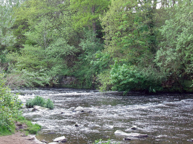
Image: © Stephen Burton Taken: 14 May 2015
The River Tame from which the borough of Tameside takes its name. The borough came into being in the early 1970s and takes in the towns of Ashton-under-Lyne, Audenshaw,Denton, Droylsden, Dukinfield, Hyde, Mossley and Stalybridge. This photograph was taken from the Tameside Trail.
Images are licensed for reuse under creativecommons.org/licenses/by-sa/2.0
Image Location
Latitude
53.433465
Longitude
-2.106827