The junction of High Road and Manor Road
Introduction
The photograph on this page of The junction of High Road and Manor Road by Marathon as part of the Geograph project.
The Geograph project started in 2005 with the aim of publishing, organising and preserving representative images for every square kilometre of Great Britain, Ireland and the Isle of Man.

There are currently over 7.5m images from over 14,400 individuals and you can help contribute to the project by visiting https://www.geograph.org.uk
The junction of High Road and Manor Road
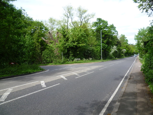
Image: © Marathon Taken: 13 May 2015
This is looking along High Road (A121) towards Loughton at the junction with Manor Road. The latter leads between Powell's Forest and the woodland of Warren Hill to Epping New Road (A104) at the end.
Images are licensed for reuse under creativecommons.org/licenses/by-sa/2.0
Image Location
Latitude
51.635545
Longitude
0.039342