Torbay Holiday Motel
Introduction
The photograph on this page of Torbay Holiday Motel by Derek Harper as part of the Geograph project.
The Geograph project started in 2005 with the aim of publishing, organising and preserving representative images for every square kilometre of Great Britain, Ireland and the Isle of Man.

There are currently over 7.5m images from over 14,400 individuals and you can help contribute to the project by visiting https://www.geograph.org.uk
Torbay Holiday Motel
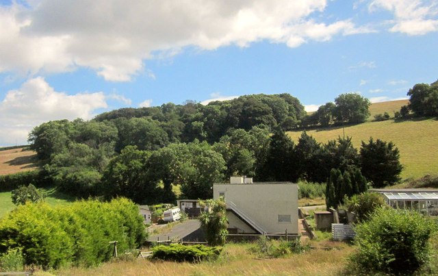
Image: © Derek Harper Taken: 10 Jul 2014
Part of the motel complex by the A385. It's mapped as the Torbay Holiday Motel, but seems to have last traded as the Torbay Berkeley Hotel. A masterplan for the area proposes the "redevelopment of {the} brownfield motel site to accommodate circa 25-30 houses" http://www.torbay.gov.uk/csm-masterplandraft.pdf . Behind rises Windmill Hill.
Images are licensed for reuse under creativecommons.org/licenses/by-sa/2.0
Image Location
Latitude
50.428228
Longitude
-3.611969