Higher Chisworth
Introduction
The photograph on this page of Higher Chisworth by Dave Dunford as part of the Geograph project.
The Geograph project started in 2005 with the aim of publishing, organising and preserving representative images for every square kilometre of Great Britain, Ireland and the Isle of Man.

There are currently over 7.5m images from over 14,400 individuals and you can help contribute to the project by visiting https://www.geograph.org.uk
Higher Chisworth
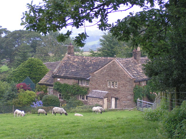
Image: © Dave Dunford Taken: 14 Aug 2004
Looking down on the hamlet of Higher Chisworth from the more westerly of the two footpaths to Ludworth Intakes.
Images are licensed for reuse under creativecommons.org/licenses/by-sa/2.0
Image Location


Leaflet Map data © OpenStreetMap
Latitude
53.422007
Longitude
-2.007786