Approaching East Grinstead
Introduction
The photograph on this page of Approaching East Grinstead by Trevor Harris as part of the Geograph project.
The Geograph project started in 2005 with the aim of publishing, organising and preserving representative images for every square kilometre of Great Britain, Ireland and the Isle of Man.

There are currently over 7.5m images from over 14,400 individuals and you can help contribute to the project by visiting https://www.geograph.org.uk
Approaching East Grinstead
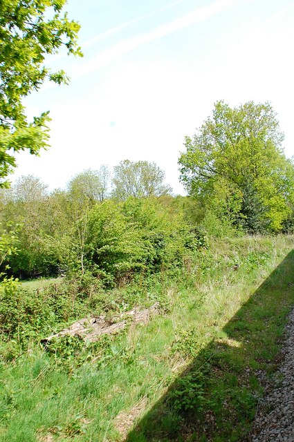
Image: © Trevor Harris Taken: 11 May 2015
Scrub, light woodland and fields alongside the Bluebell Railway on the approach to East Grinstead.
Images are licensed for reuse under creativecommons.org/licenses/by-sa/2.0
Image Location
Latitude
51.120969
Longitude
-0.028702