Shelter off Lancaster Road
Introduction
The photograph on this page of Shelter off Lancaster Road by Gerald England as part of the Geograph project.
The Geograph project started in 2005 with the aim of publishing, organising and preserving representative images for every square kilometre of Great Britain, Ireland and the Isle of Man.

There are currently over 7.5m images from over 14,400 individuals and you can help contribute to the project by visiting https://www.geograph.org.uk
Shelter off Lancaster Road
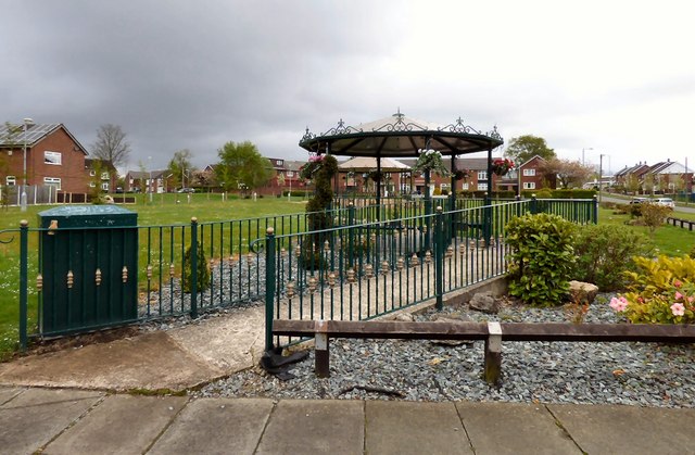
Image: © Gerald England Taken: 11 May 2015
A round shelter Image has replaced the former Information Centre Image at the corner of Lancaster Road and Mancunian Road.
Images are licensed for reuse under creativecommons.org/licenses/by-sa/2.0
Image Location
Latitude
53.442905
Longitude
-2.104894