Durham: The Bowers
Introduction
The photograph on this page of Durham: The Bowers by John Sutton as part of the Geograph project.
The Geograph project started in 2005 with the aim of publishing, organising and preserving representative images for every square kilometre of Great Britain, Ireland and the Isle of Man.

There are currently over 7.5m images from over 14,400 individuals and you can help contribute to the project by visiting https://www.geograph.org.uk
Durham: The Bowers
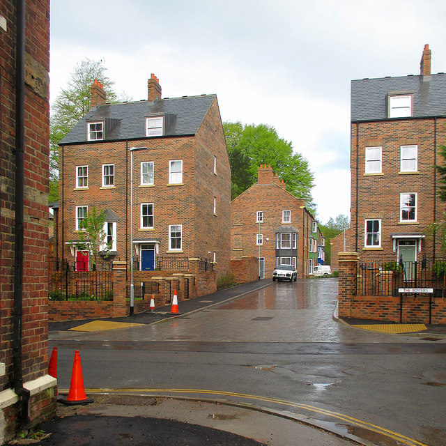
Image: © John Sutton Taken: 11 May 2015
New houses, in the local vernacular style, on the site of a bus depot. This estate was built in 2014 and Image] shows part of the site fence when work was in progress.
Images are licensed for reuse under creativecommons.org/licenses/by-sa/2.0
Image Location
Latitude
54.77824
Longitude
-1.587516