Redevelopment of the Centurion House site
Introduction
The photograph on this page of Redevelopment of the Centurion House site by John Baker as part of the Geograph project.
The Geograph project started in 2005 with the aim of publishing, organising and preserving representative images for every square kilometre of Great Britain, Ireland and the Isle of Man.

There are currently over 7.5m images from over 14,400 individuals and you can help contribute to the project by visiting https://www.geograph.org.uk
Redevelopment of the Centurion House site
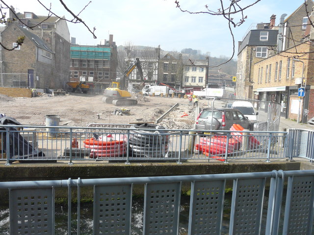
Image: © John Baker Taken: 10 Apr 2015
Compared with Image, another line of kerbstones has been layed to the left of Mill Lane and the pile of rubble has disappeared. Planning permission has been granted by Dover District Council under application number DOV/14/00554 for the “demolition of building (Centurion House) and redevelopment to provide pay and display carpark (56 car parking bays) and café kiosk (A5), associated seating area including boundary fencing/walling, tree planting/landscaping, lighting and ‘tromp l’oiel’ art display barrier/screening”.
Images are licensed for reuse under creativecommons.org/licenses/by-sa/2.0
Image Location
Latitude
51.124151
Longitude
1.314188