Hidden Lower Slaughter
Introduction
The photograph on this page of Hidden Lower Slaughter by Graham Horn as part of the Geograph project.
The Geograph project started in 2005 with the aim of publishing, organising and preserving representative images for every square kilometre of Great Britain, Ireland and the Isle of Man.

There are currently over 7.5m images from over 14,400 individuals and you can help contribute to the project by visiting https://www.geograph.org.uk
Hidden Lower Slaughter
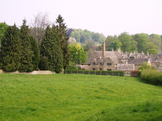
Image: © Graham Horn Taken: 29 Apr 2007
Another view that few tourists see. A lane leaves the village to the southwest. Looking pack across a paddock the mill chimney can be seen with a cluster of houses tightly surrounding it.
Images are licensed for reuse under creativecommons.org/licenses/by-sa/2.0
Image Location
Latitude
51.900987
Longitude
-1.764065