West end of Lower Slaughter
Introduction
The photograph on this page of West end of Lower Slaughter by Graham Horn as part of the Geograph project.
The Geograph project started in 2005 with the aim of publishing, organising and preserving representative images for every square kilometre of Great Britain, Ireland and the Isle of Man.

There are currently over 7.5m images from over 14,400 individuals and you can help contribute to the project by visiting https://www.geograph.org.uk
West end of Lower Slaughter
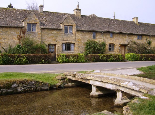
Image: © Graham Horn Taken: 29 Apr 2007
One of the small stone bridges over the River Eye is backed by a lovely row of stone cottages.
Images are licensed for reuse under creativecommons.org/licenses/by-sa/2.0
Image Location
Latitude
51.901166
Longitude
-1.763774