Former Station House, Scorton
Introduction
The photograph on this page of Former Station House, Scorton by Tony Simms as part of the Geograph project.
The Geograph project started in 2005 with the aim of publishing, organising and preserving representative images for every square kilometre of Great Britain, Ireland and the Isle of Man.

There are currently over 7.5m images from over 14,400 individuals and you can help contribute to the project by visiting https://www.geograph.org.uk
Former Station House, Scorton
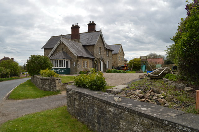
Image: © Tony Simms Taken: 13 May 2015
Nearly a mile from the village, this was Scorton Station on the Richmond branch until 1969. The track bed follows the line of the current driveway.
Images are licensed for reuse under creativecommons.org/licenses/by-sa/2.0
Image Location
Latitude
54.40772
Longitude
-1.616969