Lane from playing field to High Street, Wollaston, Stourbridge
Introduction
The photograph on this page of Lane from playing field to High Street, Wollaston, Stourbridge by P L Chadwick as part of the Geograph project.
The Geograph project started in 2005 with the aim of publishing, organising and preserving representative images for every square kilometre of Great Britain, Ireland and the Isle of Man.

There are currently over 7.5m images from over 14,400 individuals and you can help contribute to the project by visiting https://www.geograph.org.uk
Lane from playing field to High Street, Wollaston, Stourbridge
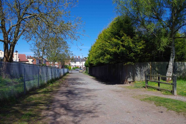
Image: © P L Chadwick Taken: 26 Apr 2015
The lane is normally closed to motor vehicles by a barrier at the High Street end. Image
Images are licensed for reuse under creativecommons.org/licenses/by-sa/2.0
Image Location
Latitude
52.462564
Longitude
-2.161563