The walled lane past the sheep dip
Introduction
The photograph on this page of The walled lane past the sheep dip by Karl and Ali as part of the Geograph project.
The Geograph project started in 2005 with the aim of publishing, organising and preserving representative images for every square kilometre of Great Britain, Ireland and the Isle of Man.

There are currently over 7.5m images from over 14,400 individuals and you can help contribute to the project by visiting https://www.geograph.org.uk
The walled lane past the sheep dip
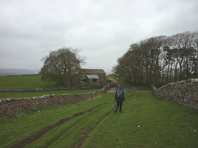
Image: © Karl and Ali Taken: 10 May 2015
The sheep dip is shown on the map but is hardly more worthy of naming than most sheep dips we have come across.
Images are licensed for reuse under creativecommons.org/licenses/by-sa/2.0
Image Location
Latitude
54.446468
Longitude
-2.543085