Recreation ground in Freckenham
Introduction
The photograph on this page of Recreation ground in Freckenham by Bill Boaden as part of the Geograph project.
The Geograph project started in 2005 with the aim of publishing, organising and preserving representative images for every square kilometre of Great Britain, Ireland and the Isle of Man.

There are currently over 7.5m images from over 14,400 individuals and you can help contribute to the project by visiting https://www.geograph.org.uk
Recreation ground in Freckenham
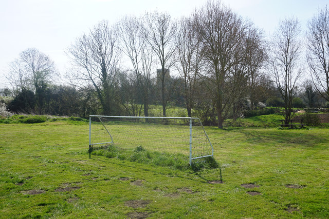
Image: © Bill Boaden Taken: 20 Apr 2015
The profile of St Andrew's, Freckenham is in the trees behind. There doesn't appear to be a direct way through from here.
Images are licensed for reuse under creativecommons.org/licenses/by-sa/2.0
Image Location
Latitude
52.319947
Longitude
0.441472