
Hengrove Mounds
Introduction
The photograph on this page of Hengrove Mounds by Neil Owen as part of the Geograph project.
The Geograph project started in 2005 with the aim of publishing, organising and preserving representative images for every square kilometre of Great Britain, Ireland and the Isle of Man.

There are currently over 7.5m images from over 14,400 individuals and you can help contribute to the project by visiting https://www.geograph.org.uk
Hengrove Mounds
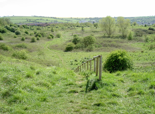
Image: © Neil Owen Taken: 12 May 2015
This patch of land was originally part the Hall's family estate of Filwood Farm, dating back to the 1700s. In the 1930s, this (then rural) area was sold to become the new Whitchurch Airfield. Following war-time and post-war commercial use, the airport closed in 1957 as it was becoming encroached by the growing suburbs and deemed unsuitable for further expansion. Some of the land here was later used as a council landfill - including road widening and demolition rubble from churches. The ground was left to its own devices for many years, but now has important backing from the local environmental bodies and can boast a number of wildlife inhabitants.
Images are licensed for reuse under creativecommons.org/licenses/by-sa/2.0
Image Location

Latitude
51.414296
Longitude
-2.590939