Path north to Chestnut Grove, Caerleon
Introduction
The photograph on this page of Path north to Chestnut Grove, Caerleon by Jaggery as part of the Geograph project.
The Geograph project started in 2005 with the aim of publishing, organising and preserving representative images for every square kilometre of Great Britain, Ireland and the Isle of Man.

There are currently over 7.5m images from over 14,400 individuals and you can help contribute to the project by visiting https://www.geograph.org.uk
Path north to Chestnut Grove, Caerleon
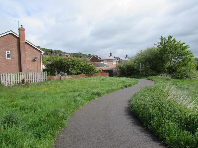
Image: © Jaggery Taken: 12 May 2015
The path connects the combined footpath & cycle route (part of National Cycle Network route 88) from Malpas to Caerleon with Chestnut Grove. http://www.geograph.org.uk/photo/4472178
Images are licensed for reuse under creativecommons.org/licenses/by-sa/2.0
Image Location
Latitude
51.609502
Longitude
-2.980492