Fields on Berry Lane
Introduction
The photograph on this page of Fields on Berry Lane by Nigel Mykura as part of the Geograph project.
The Geograph project started in 2005 with the aim of publishing, organising and preserving representative images for every square kilometre of Great Britain, Ireland and the Isle of Man.

There are currently over 7.5m images from over 14,400 individuals and you can help contribute to the project by visiting https://www.geograph.org.uk
Fields on Berry Lane
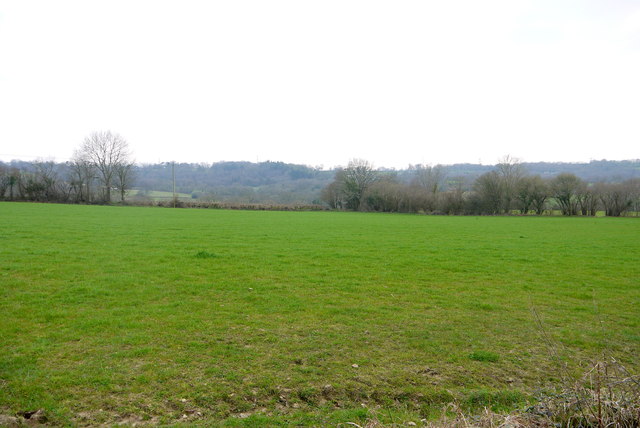
Image: © Nigel Mykura Taken: 5 Apr 2015
This grass field is just south of the lane with the valley of Berry Bottom just beyond it. In the distance beyond that are the wooded slopes of Lambert's Castle Hill.
Images are licensed for reuse under creativecommons.org/licenses/by-sa/2.0
Image Location
Latitude
50.796273
Longitude
-2.899237