Berry Lane
Introduction
The photograph on this page of Berry Lane by Nigel Mykura as part of the Geograph project.
The Geograph project started in 2005 with the aim of publishing, organising and preserving representative images for every square kilometre of Great Britain, Ireland and the Isle of Man.

There are currently over 7.5m images from over 14,400 individuals and you can help contribute to the project by visiting https://www.geograph.org.uk
Berry Lane
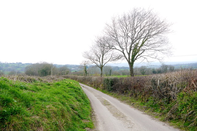
Image: © Nigel Mykura Taken: 5 Apr 2015
Berry Lane runs east from Marshwood to Hawkchurch on the southern slopes of the valley of the Blackwater River. The valley is part of the Marshwood Vale
Images are licensed for reuse under creativecommons.org/licenses/by-sa/2.0
Image Location
Latitude
50.796723
Longitude
-2.899104