Dudley Skyline View
Introduction
The photograph on this page of Dudley Skyline View by Gordon Griffiths as part of the Geograph project.
The Geograph project started in 2005 with the aim of publishing, organising and preserving representative images for every square kilometre of Great Britain, Ireland and the Isle of Man.

There are currently over 7.5m images from over 14,400 individuals and you can help contribute to the project by visiting https://www.geograph.org.uk
Dudley Skyline View
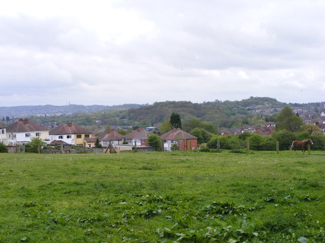
Image: © Gordon Griffiths Taken: 10 May 2015
The view from Turls Hill Road on the edge of Sedgley. The skyline as Turner's Hill Masts on the left, Dudley Castle in the centre and the Wrens Nest limestone outcrop on the right.
Images are licensed for reuse under creativecommons.org/licenses/by-sa/2.0
Image Location
Latitude
52.540302
Longitude
-2.103314