Fields near Westhay Cross
Introduction
The photograph on this page of Fields near Westhay Cross by Nigel Mykura as part of the Geograph project.
The Geograph project started in 2005 with the aim of publishing, organising and preserving representative images for every square kilometre of Great Britain, Ireland and the Isle of Man.

There are currently over 7.5m images from over 14,400 individuals and you can help contribute to the project by visiting https://www.geograph.org.uk
Fields near Westhay Cross
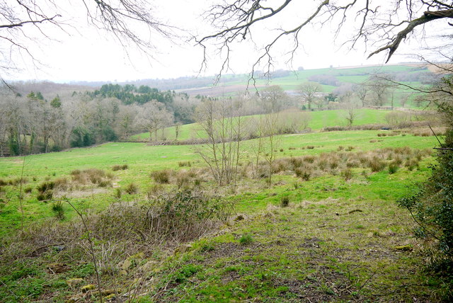
Image: © Nigel Mykura Taken: 5 Apr 2015
This field was very damp and must lie close to the spring line between the Greensand and the Gault Clay> The trees at the bottom of the valley are in Doleham Coppice through which a tributary of the Blackwater River runs.
Images are licensed for reuse under creativecommons.org/licenses/by-sa/2.0
Image Location
Latitude
50.802319
Longitude
-2.919646