Bridge over Tebaygill Beck
Introduction
The photograph on this page of Bridge over Tebaygill Beck by Karl and Ali as part of the Geograph project.
The Geograph project started in 2005 with the aim of publishing, organising and preserving representative images for every square kilometre of Great Britain, Ireland and the Isle of Man.

There are currently over 7.5m images from over 14,400 individuals and you can help contribute to the project by visiting https://www.geograph.org.uk
Bridge over Tebaygill Beck
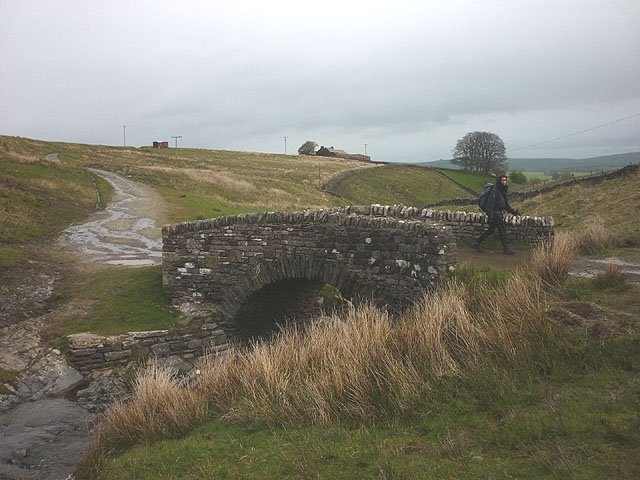
Image: © Karl and Ali Taken: 10 May 2015
This is the farm access track for Waskew Head which spans the beck where it runs through a narrow, rocky little gorge. The adjacent ford shown on maps is probably rarely used.
Images are licensed for reuse under creativecommons.org/licenses/by-sa/2.0
Image Location
Latitude
54.429918
Longitude
-2.584486