Farmland near Buckland Brewer
Introduction
The photograph on this page of Farmland near Buckland Brewer by Philip Halling as part of the Geograph project.
The Geograph project started in 2005 with the aim of publishing, organising and preserving representative images for every square kilometre of Great Britain, Ireland and the Isle of Man.

There are currently over 7.5m images from over 14,400 individuals and you can help contribute to the project by visiting https://www.geograph.org.uk
Farmland near Buckland Brewer
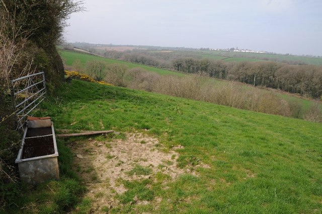
Image: © Philip Halling Taken: 10 Apr 2015
A water tank in the corner of a field; the village of Buckland Brewer can be seen in the distance. Rough the same view as seven years earlier. Image]
Images are licensed for reuse under creativecommons.org/licenses/by-sa/2.0
Image Location
Latitude
50.955452
Longitude
-4.237432