South Yorkshire Fire Station at Tankersley
Introduction
The photograph on this page of South Yorkshire Fire Station at Tankersley by Neil Theasby as part of the Geograph project.
The Geograph project started in 2005 with the aim of publishing, organising and preserving representative images for every square kilometre of Great Britain, Ireland and the Isle of Man.

There are currently over 7.5m images from over 14,400 individuals and you can help contribute to the project by visiting https://www.geograph.org.uk
South Yorkshire Fire Station at Tankersley
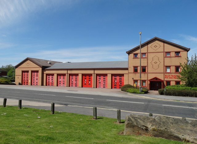
Image: © Neil Theasby Taken: 11 May 2015
Tankersley is a full time station providing fire cover to the residential areas of Hoyland, Birdwell, Wosborough, High Green and Chapeltown and also provides the first attendance to the smaller villages of Pilley, Tankersley, Wortley and Harley. Industrial and commercial areas covered include the Tankersley Platts Common and Chapeltown industrial estates. The station also provides the initial response to the M1, junctions 34-37, the A61 and the A616 Stocksbridge by-pass for road traffic collisions.
Images are licensed for reuse under creativecommons.org/licenses/by-sa/2.0
Image Location
Latitude
53.491666
Longitude
-1.491425