Former New Connexion Schools
Introduction
The photograph on this page of Former New Connexion Schools by Ian S as part of the Geograph project.
The Geograph project started in 2005 with the aim of publishing, organising and preserving representative images for every square kilometre of Great Britain, Ireland and the Isle of Man.

There are currently over 7.5m images from over 14,400 individuals and you can help contribute to the project by visiting https://www.geograph.org.uk
Former New Connexion Schools
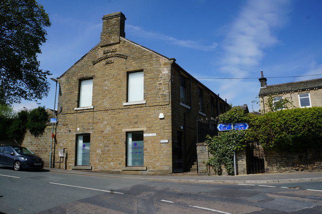
Image: © Ian S Taken: 8 May 2015
Built in 1875 on Marsh Lane, Shepley.
Images are licensed for reuse under creativecommons.org/licenses/by-sa/2.0
Image Location
Latitude
53.584076
Longitude
-1.709643