Claypotts Castle
Introduction
The photograph on this page of Claypotts Castle by Euan Nelson as part of the Geograph project.
The Geograph project started in 2005 with the aim of publishing, organising and preserving representative images for every square kilometre of Great Britain, Ireland and the Isle of Man.

There are currently over 7.5m images from over 14,400 individuals and you can help contribute to the project by visiting https://www.geograph.org.uk
Claypotts Castle
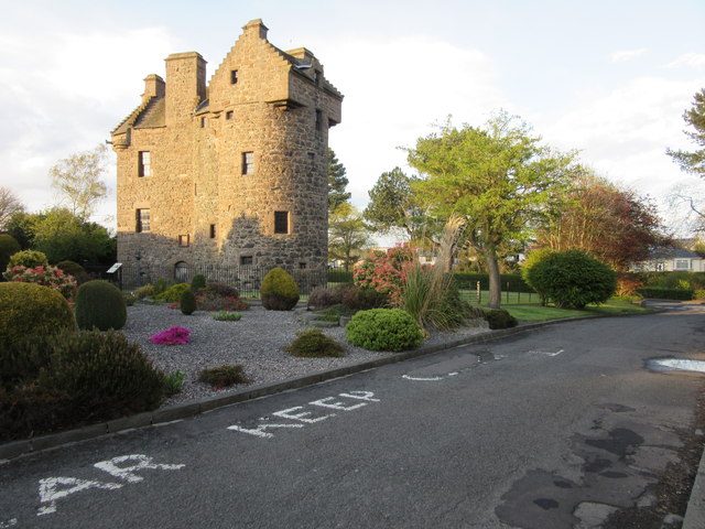
Image: © Euan Nelson Taken: 9 May 2015
Claypotts is an outstanding example of a sixteenth century z-plan tower house. Although not open to the public, the castle is looked after by Historic Scotland.
Images are licensed for reuse under creativecommons.org/licenses/by-sa/2.0
Image Location
Latitude
56.476383
Longitude
-2.889923