The 'Good Old Days'?
Introduction
The photograph on this page of The 'Good Old Days'? by Stephen Pearce as part of the Geograph project.
The Geograph project started in 2005 with the aim of publishing, organising and preserving representative images for every square kilometre of Great Britain, Ireland and the Isle of Man.

There are currently over 7.5m images from over 14,400 individuals and you can help contribute to the project by visiting https://www.geograph.org.uk
The 'Good Old Days'?
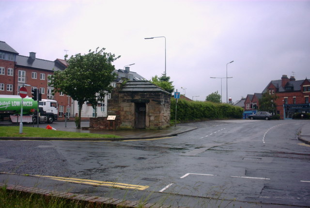
Image: © Stephen Pearce Taken: 27 May 2007
This is a view from Lichfield Road looking in the direction of Wolverhampton Road into White Lion Street. The small stone building used to be part of the town walls and was used as a lock-up in times gone by. The structure was moved to its present situation when the new road system was built.
Images are licensed for reuse under creativecommons.org/licenses/by-sa/2.0
Image Location
Latitude
52.802701
Longitude
-2.114171