The Craigdhu Wedge
Introduction
The photograph on this page of The Craigdhu Wedge by Richard Sutcliffe as part of the Geograph project.
The Geograph project started in 2005 with the aim of publishing, organising and preserving representative images for every square kilometre of Great Britain, Ireland and the Isle of Man.

There are currently over 7.5m images from over 14,400 individuals and you can help contribute to the project by visiting https://www.geograph.org.uk
The Craigdhu Wedge
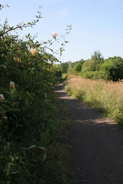
Image: © Richard Sutcliffe Taken: 20 Jul 2013
Path for walkers and cyclists along the western side of the Craigdhu Wedge. This runs from Milngavie Road (beside McDonald's) to Prestonfield (beside Craigdhu Primary School). Honeysuckle is in flower in the hedge.
Images are licensed for reuse under creativecommons.org/licenses/by-sa/2.0
Image Location
Latitude
55.932539
Longitude
-4.327423