The Craigdhu Wedge
Introduction
The photograph on this page of The Craigdhu Wedge by Richard Sutcliffe as part of the Geograph project.
The Geograph project started in 2005 with the aim of publishing, organising and preserving representative images for every square kilometre of Great Britain, Ireland and the Isle of Man.

There are currently over 7.5m images from over 14,400 individuals and you can help contribute to the project by visiting https://www.geograph.org.uk
The Craigdhu Wedge
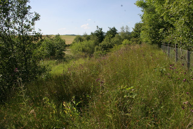
Image: © Richard Sutcliffe Taken: 20 Jul 2013
The Craigdhu Wedge is a wedge-shaped area of land between Bearsden and Milngavie, through which flows the Craigdhu Burn. It is a good area for wildlife, and is recognised as a Local Nature Conservation Site by East Dunbartonshire Council.
Images are licensed for reuse under creativecommons.org/licenses/by-sa/2.0
Image Location
Latitude
55.931671
Longitude
-4.32577