Ascent towards Guilsborough Road
Introduction
The photograph on this page of Ascent towards Guilsborough Road by Graham Horn as part of the Geograph project.
The Geograph project started in 2005 with the aim of publishing, organising and preserving representative images for every square kilometre of Great Britain, Ireland and the Isle of Man.

There are currently over 7.5m images from over 14,400 individuals and you can help contribute to the project by visiting https://www.geograph.org.uk
Ascent towards Guilsborough Road
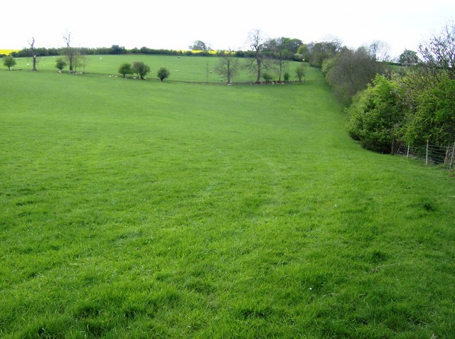
Image: © Graham Horn Taken: 25 Apr 2007
The land use changes rapidly in the area. As we leave the valley behind we have passed fields of cereal crops. Now we have two fields for grazing; there are sheep in the second one. Then there is a hint of more fields of rape on the horizon.
Images are licensed for reuse under creativecommons.org/licenses/by-sa/2.0
Image Location
Latitude
52.331485
Longitude
-0.987092