The Seven Acres
Introduction
The photograph on this page of The Seven Acres by Simon Carey as part of the Geograph project.
The Geograph project started in 2005 with the aim of publishing, organising and preserving representative images for every square kilometre of Great Britain, Ireland and the Isle of Man.

There are currently over 7.5m images from over 14,400 individuals and you can help contribute to the project by visiting https://www.geograph.org.uk
The Seven Acres
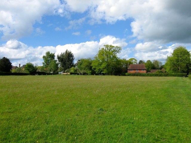
Image: © Simon Carey Taken: 9 May 2015
The name of the field according to Ardingly's 1840 tithe map that is now reduced in size having lost its western side to the houses and gardens facing College Road and the northern tip to Stable Cottage. It is bounded to the south by Image and to the east by Image
Images are licensed for reuse under creativecommons.org/licenses/by-sa/2.0
Image Location
Latitude
51.045891
Longitude
-0.078257