Combe Valley Way junction construction
Introduction
The photograph on this page of Combe Valley Way junction construction by Oast House Archive as part of the Geograph project.
The Geograph project started in 2005 with the aim of publishing, organising and preserving representative images for every square kilometre of Great Britain, Ireland and the Isle of Man.

There are currently over 7.5m images from over 14,400 individuals and you can help contribute to the project by visiting https://www.geograph.org.uk
Combe Valley Way junction construction
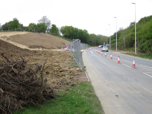
Image: © Oast House Archive Taken: 9 May 2015
At Queensway. This will be a traffic light controlled T-junction.
Images are licensed for reuse under creativecommons.org/licenses/by-sa/2.0
Image Location
Latitude
50.871746
Longitude
0.523207