Brownhill
Introduction
The photograph on this page of Brownhill by Anne Burgess as part of the Geograph project.
The Geograph project started in 2005 with the aim of publishing, organising and preserving representative images for every square kilometre of Great Britain, Ireland and the Isle of Man.

There are currently over 7.5m images from over 14,400 individuals and you can help contribute to the project by visiting https://www.geograph.org.uk
Brownhill
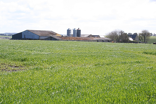
Image: © Anne Burgess Taken: 7 May 2015
From this view, you'd think that 'Green Hollow' would be a more appropriate name than 'Brown Hill', with the buildings partly hidden in a dip.
Images are licensed for reuse under creativecommons.org/licenses/by-sa/2.0
Image Location
Latitude
57.567845
Longitude
-2.182195