Leechesburn
Introduction
The photograph on this page of Leechesburn by Anne Burgess as part of the Geograph project.
The Geograph project started in 2005 with the aim of publishing, organising and preserving representative images for every square kilometre of Great Britain, Ireland and the Isle of Man.

There are currently over 7.5m images from over 14,400 individuals and you can help contribute to the project by visiting https://www.geograph.org.uk
Leechesburn
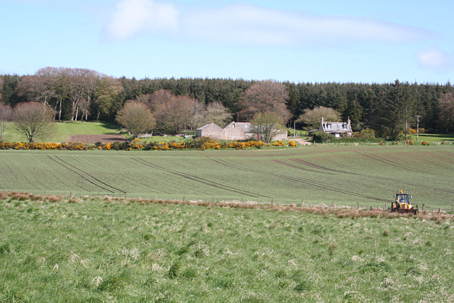
Image: © Anne Burgess Taken: 7 May 2015
Fields turning green south of New Pitsligo. The digger was working in a ditch at the field boundary.
Images are licensed for reuse under creativecommons.org/licenses/by-sa/2.0
Image Location
Latitude
57.578433
Longitude
-2.189772