Moorland by A470
Introduction
The photograph on this page of Moorland by A470 by Helen as part of the Geograph project.
The Geograph project started in 2005 with the aim of publishing, organising and preserving representative images for every square kilometre of Great Britain, Ireland and the Isle of Man.

There are currently over 7.5m images from over 14,400 individuals and you can help contribute to the project by visiting https://www.geograph.org.uk
Moorland by A470
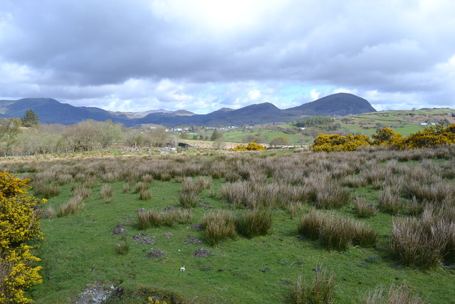
Image: © Helen Taken: 29 Apr 2015
This rough moorland is typical of the land close to the A470 in this area. The buildings in the background in front of the mountains are the village of Llan Ffestiniog.
Images are licensed for reuse under creativecommons.org/licenses/by-sa/2.0
Image Location
Latitude
52.945071
Longitude
-3.938078