Track to Bogenspro
Introduction
The photograph on this page of Track to Bogenspro by Andrew Stuart as part of the Geograph project.
The Geograph project started in 2005 with the aim of publishing, organising and preserving representative images for every square kilometre of Great Britain, Ireland and the Isle of Man.

There are currently over 7.5m images from over 14,400 individuals and you can help contribute to the project by visiting https://www.geograph.org.uk
Track to Bogenspro
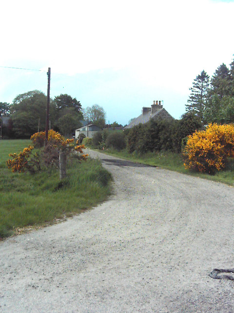
Image: © Andrew Stuart Taken: 26 May 2007
Track to Bogenspro farm, one of the farm buildings can be seen in the centre of the picture. The cottage to the right of centre is one of the farm cottages for Bogenspro, the farmhouse itself can just be seen through the trees to the left.
Images are licensed for reuse under creativecommons.org/licenses/by-sa/2.0
Image Location


Leaflet Map data © OpenStreetMap
Latitude
57.494255
Longitude
-2.733202