Mill Lane Playground, Wyatt's Green
Introduction
The photograph on this page of Mill Lane Playground, Wyatt's Green by Glyn Baker as part of the Geograph project.
The Geograph project started in 2005 with the aim of publishing, organising and preserving representative images for every square kilometre of Great Britain, Ireland and the Isle of Man.

There are currently over 7.5m images from over 14,400 individuals and you can help contribute to the project by visiting https://www.geograph.org.uk
Mill Lane Playground, Wyatt's Green
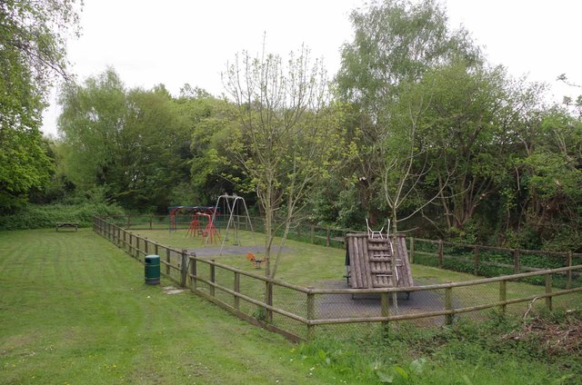
Image: © Glyn Baker Taken: 8 May 2015
The footpath to Blackmore Rd passes through the hedge at the rear of this shot.
Images are licensed for reuse under creativecommons.org/licenses/by-sa/2.0
Image Location
Latitude
51.675487
Longitude
0.30583