Watson's Corner, Wyatt's Green
Introduction
The photograph on this page of Watson's Corner, Wyatt's Green by Glyn Baker as part of the Geograph project.
The Geograph project started in 2005 with the aim of publishing, organising and preserving representative images for every square kilometre of Great Britain, Ireland and the Isle of Man.

There are currently over 7.5m images from over 14,400 individuals and you can help contribute to the project by visiting https://www.geograph.org.uk
Watson's Corner, Wyatt's Green
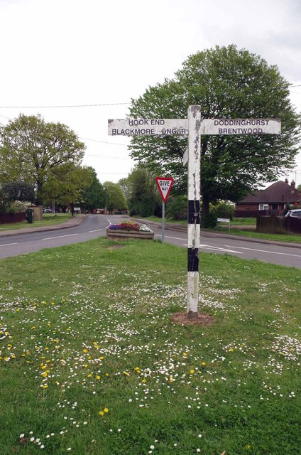
Image: © Glyn Baker Taken: 8 May 2015
This is the junction of Mill Lane out of shot (behind & left) Wyatt's Green Rd (ahead) and Church Lane (bearing right)
Images are licensed for reuse under creativecommons.org/licenses/by-sa/2.0
Image Location
Latitude
51.671882
Longitude
0.306225