Fields Near Woodlands Farm
Introduction
The photograph on this page of Fields Near Woodlands Farm by Glyn Baker as part of the Geograph project.
The Geograph project started in 2005 with the aim of publishing, organising and preserving representative images for every square kilometre of Great Britain, Ireland and the Isle of Man.

There are currently over 7.5m images from over 14,400 individuals and you can help contribute to the project by visiting https://www.geograph.org.uk
Fields Near Woodlands Farm
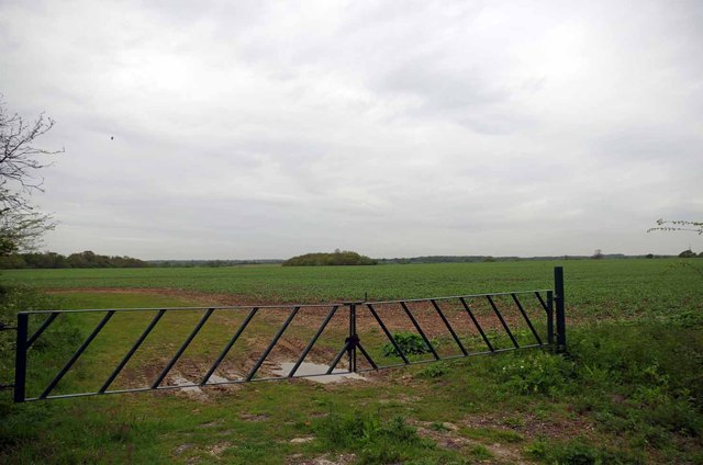
Image: © Glyn Baker Taken: 8 May 2015
Clearly this farm has needed to invest to stop unwanted visitors driving on to their land.
Images are licensed for reuse under creativecommons.org/licenses/by-sa/2.0
Image Location


Leaflet Map data © OpenStreetMap
Latitude
51.66012
Longitude
0.341632