Brinsley Recreation Ground
Introduction
The photograph on this page of Brinsley Recreation Ground by Richard Vince as part of the Geograph project.
The Geograph project started in 2005 with the aim of publishing, organising and preserving representative images for every square kilometre of Great Britain, Ireland and the Isle of Man.

There are currently over 7.5m images from over 14,400 individuals and you can help contribute to the project by visiting https://www.geograph.org.uk
Brinsley Recreation Ground
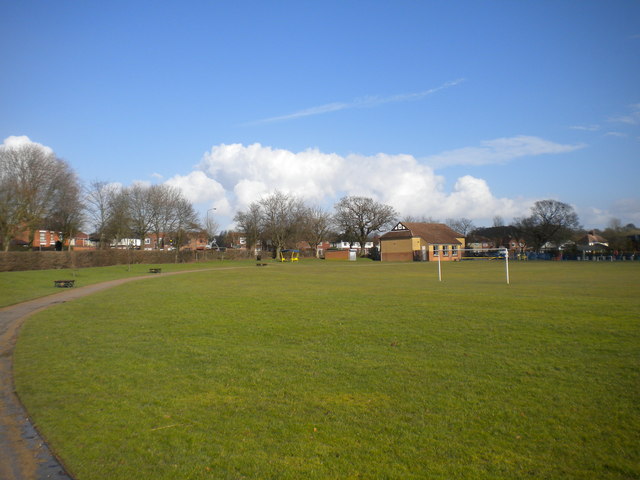
Image: © Richard Vince Taken: 24 Feb 2015
A sizable playing field in a bend in the A608, at around the point at which Brinsley meets New Brinsley. It was somewhat soggy on this occasion, having been freshly and comprehensively rained on.
Images are licensed for reuse under creativecommons.org/licenses/by-sa/2.0
Image Location
Latitude
53.039876
Longitude
-1.310773