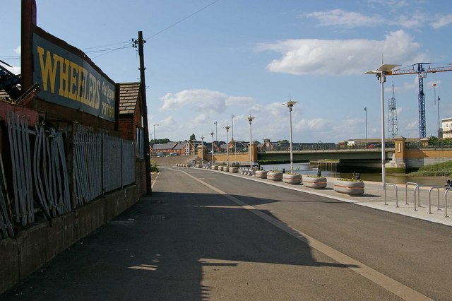
Haven Bridge
Introduction
The photograph on this page of Haven Bridge by Glyn Baker as part of the Geograph project.
The Geograph project started in 2005 with the aim of publishing, organising and preserving representative images for every square kilometre of Great Britain, Ireland and the Isle of Man.
There are currently over 7.5m images from over 14,400 individuals and you can help contribute to the project by visiting https://www.geograph.org.uk

Image: © Glyn Baker Taken: 19 May 2007
Since 1996 the Haven Bridge has been the bridging point on the Colne. It divides the Victorian architecture of the Hythe Quay from the later King Edward Quay. Hythe Quay is the far side of the bridge. It is worth noting that locals have never made any distinction between the two and they were both known collectively as “The Hythe”. To the left of the picture is Wheelers Scrap Metal Merchants, the flower tubs and fancy lamps are probably the work of Image

