Arable field boundary, Layham
Introduction
The photograph on this page of Arable field boundary, Layham by Roger Jones as part of the Geograph project.
The Geograph project started in 2005 with the aim of publishing, organising and preserving representative images for every square kilometre of Great Britain, Ireland and the Isle of Man.

There are currently over 7.5m images from over 14,400 individuals and you can help contribute to the project by visiting https://www.geograph.org.uk
Arable field boundary, Layham
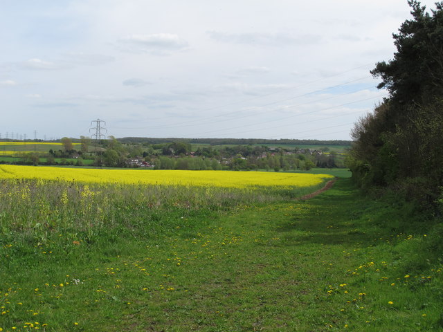
Image: © Roger Jones Taken: 4 May 2015
Oilseed rape is the crop in this arable field near Overbury Hall.
Images are licensed for reuse under creativecommons.org/licenses/by-sa/2.0
Image Location
Latitude
52.02656
Longitude
0.946933