View south to Hill Top
Introduction
The photograph on this page of View south to Hill Top by Martin Dawes as part of the Geograph project.
The Geograph project started in 2005 with the aim of publishing, organising and preserving representative images for every square kilometre of Great Britain, Ireland and the Isle of Man.

There are currently over 7.5m images from over 14,400 individuals and you can help contribute to the project by visiting https://www.geograph.org.uk
View south to Hill Top
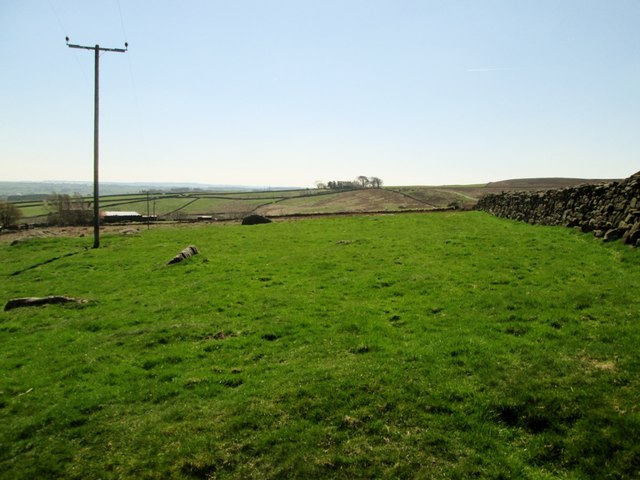
Image: © Martin Dawes Taken: 21 Apr 2015
The Nidderdale Way and Six Dales Trail split here just to the right on the skyline house and trees, Hill Top and the track we have just walked along going to its right, farm roof to the left is Low Hood Gap
Images are licensed for reuse under creativecommons.org/licenses/by-sa/2.0
Image Location


Leaflet Map data © OpenStreetMap
Latitude
54.058259
Longitude
-1.739499