Ford on Hampton Lane, Whitford
Introduction
The photograph on this page of Ford on Hampton Lane, Whitford by Derek Harper as part of the Geograph project.
The Geograph project started in 2005 with the aim of publishing, organising and preserving representative images for every square kilometre of Great Britain, Ireland and the Isle of Man.

There are currently over 7.5m images from over 14,400 individuals and you can help contribute to the project by visiting https://www.geograph.org.uk
Ford on Hampton Lane, Whitford
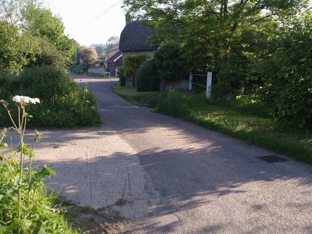
Image: © Derek Harper Taken: 22 May 2007
Presumably the ford that gives the village its name. The Hampton Goyle runs beneath the lane, but clearly across it in times of flood. This view looks north away from the main street.
Images are licensed for reuse under creativecommons.org/licenses/by-sa/2.0
Image Location
Latitude
50.755621
Longitude
-3.050291